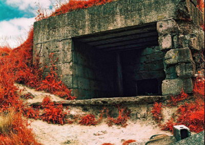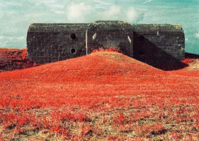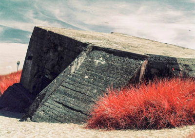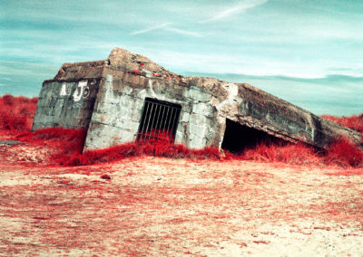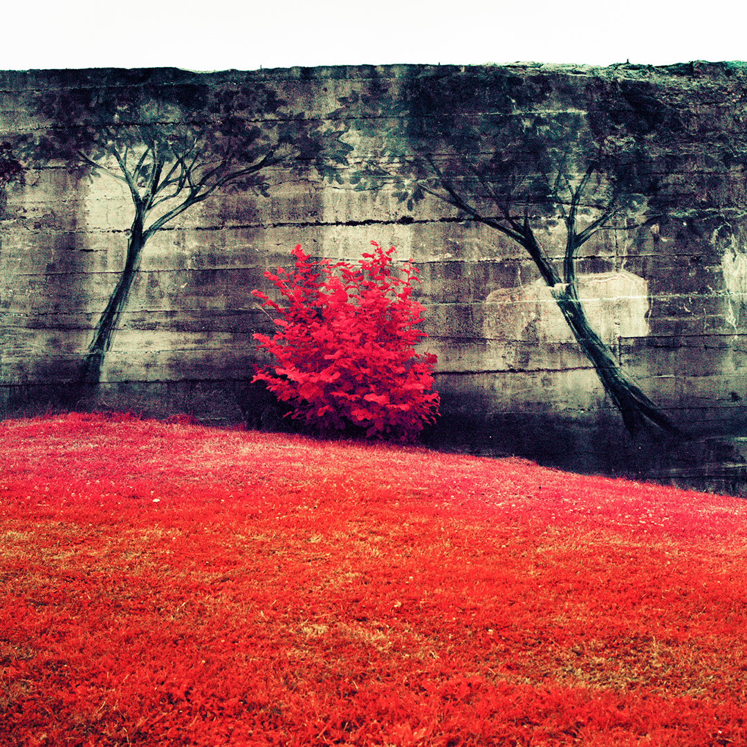
On the 6th June 1944 allied forces launched the biggest amphibious military attack in history, landing along 50 miles of the heavily fortified Normandy coast and creating a significant dent in Hitler’s Atlantic wall. ‘Operation Overlord’ began the liberation of the German occupied coast of North West Europe; it was the beginning of the end of WW2.
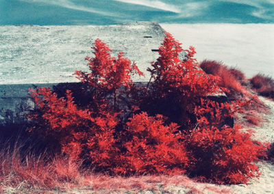
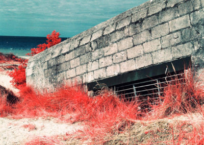
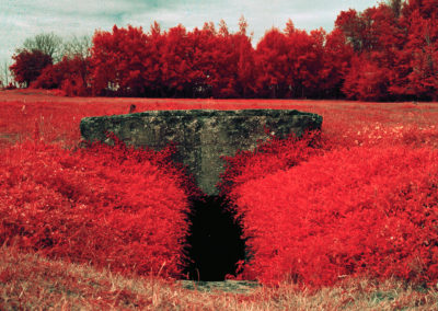
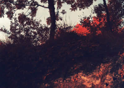
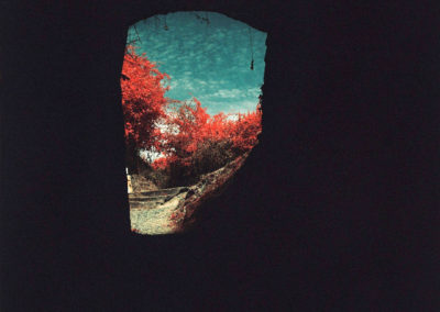
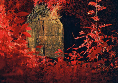
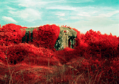
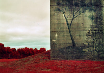
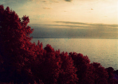
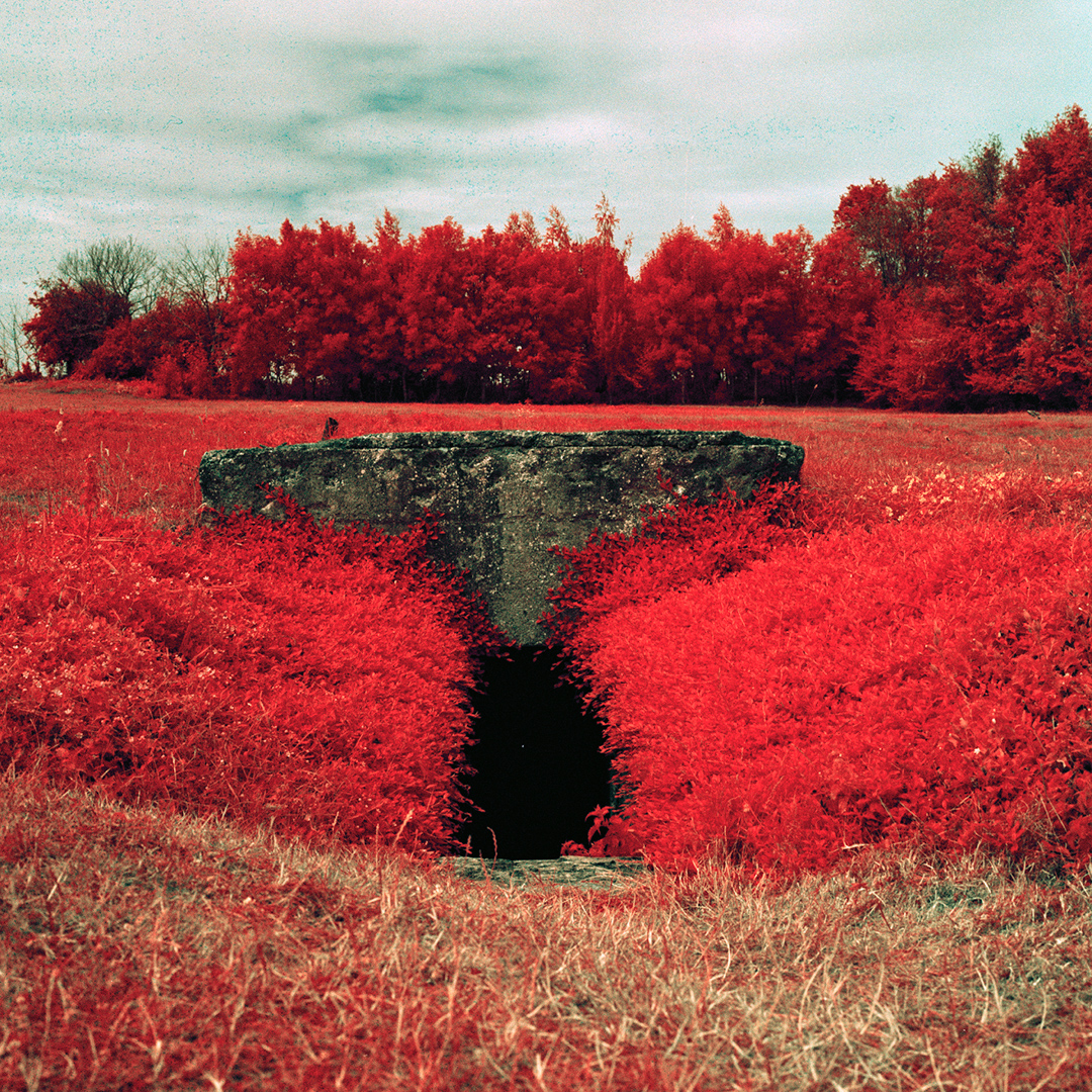
The images were taken of the coastal surveillance bunkers that formed part of the Atlantic wall along the Normandy coast from Utah beach to Deauville. Using infrared film, a technology that was created by the military in WW2 to detect camouflage and expose a visual spectrum that’s invisible to the naked eye.
When exhibiting this work previously, I printed the infrared images on to silk, a reference to another technology that was employed for the first time in WW2; escape maps were printed on to silks and stitched inside officers uniforms.
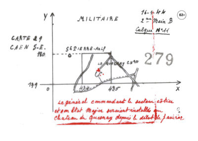
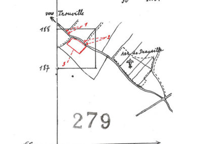
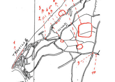
The diary entry from the 6th June 1944, shown below, belongs to Odette Brefort; she lived in Deauville during the German Occupation and throughout WW2. She was a member of the French Resistance, providing military intelligence on the German defenses by drawing intricate and beautiful maps to send to her comrades in Paris.
Oh, what a night! My little head is all shell-shocked.
Since midnight it’s been impossible to sleep: the humming from planes, the anti-aircraft bombs, the machine gun noise.
I went downstairs because I couldn’t sleep and after 15 minutes it went quiet. Thinking it would be better, I went back to bed. What a mistake!
All night, the humming from planes, it was non-stop.
What a joy when waking this morning, someone announces there was a landing at Dives.
At 8.20am a bomb falls on the Printemps store, another one on the Normandy.
By rule we don’t have the right to leave Deauville, or to ride our bicycles.
The weather remained foggy until midday, the sun shone from 4pm. It must be the English who brought the clouds! The defence volunteers will be able to move freely tonight.
Around 6pm, what a tremendous bang! it is the Mont Canisy. The English navy must have blown up a large artillery battery that was shooting at them. It had been deafening us since this morning. I think the shot hit the target, as we can’t hear a thing anymore.
What on earth will happen to us when the Navy and Air Force take care of our region?
There is no electricity. Deauville is in the dark.
Odette Brefort, 6 June 1944.
The three maps below are examples of the German defenses maps created by Odette:
Selected images from Lynda’s Dans le Noir series are shown below (click to view image at full size / format)
An accompanying video, shown below, was made in the sea of the D-Day beaches at the exact time of the landings.
ABOUT LYNDA LAIRD
Lynda Laird is a photographic artist working on long term bodies of work; primarily focusing on landscape and the idea that memory is stored in place; that there are trace’s and an imprint of history stored in the buildings, landscapes and spaces where specific events have occurred.
These traces, she believes can be sensed through an intuition and feeling of a particular environment; it’s for this reason she is interested in exploring ways of showing what is invisible to the naked eye. As well as photography, she works with video, sound and archive; collecting objects and testimony from these spaces as well as employing camera-less techniques in an attempt to find a way to collaborate with the subject. She likes to work with the materiality of specific landscapes, bringing a trace of its history and memory in to the work.
She is interested in how bringing these elements together can be a trigger for stimulating memory and creating a sense of place.
Website: lyndalaird.com
Instagram: @_lyndalaird
Twitter: @_LyndaLaird
CREDITS
Unless otherwise stated, all words and images in this article are © Lynda Laird

